Powerful storm activity throughout the Sierra Nevada in early March changed the water supply outlook for Nevada in a matter of days, according to federal resource managers.
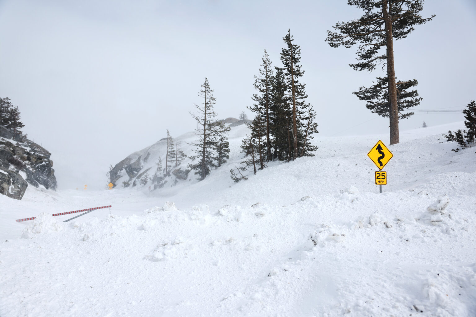
Following a four-day blizzard that started on Leap Day, snowpack percentages in the eastern Sierra — a major water source for the Truckee River — jumped by a record 30%, increasing snow water content throughout its range by about 6.9 inches on average between February 29 and March 4.
By the end of the intense blizzard, all basins across Nevada had above normal snowpacks for the first time this winter, according to a winter outlook report by the Natural Resources Conservation Service. Federal data sites in Nevada recorded between 4-10 inches of additional snow water content to the snowpack in the Lake Tahoe, Truckee, Carson and Walker basins over the four days.
Dramatic high winds and dense snow also left vehicles stranded, and forced the closure of interstate highways between Nevada and California. Based on federal data, the intensity of the four-day blizzard was also among the strongest on record.
Since 1981, only 16 other storms have added more than 6 inches of snow water content to the region’s snowpack over a four-day stretch. Only three storms recorded since 1981 had a higher four-day gain than this year’s blizzard.
Before the four-day blizzard reached the Sierra Nevada, Nevada’s basins were at 44% median snowpack. However, two atmospheric rivers in February and the blizzard helped the Carson and Walker basins snowpacks surpass their normal springtime peak snow water amounts. The Lake Tahoe and Truckee basins still need 2-3 inches of additional snow water to reach their peaks.
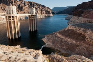
Southern Nevada also benefited from an increase in snow and precipitation over the Great Basin last month. Snowpack in the Upper Colorado Basin — a major water source for the Colorado River and Lake Mead — is at 105% of its normal snowpack percentage. Precipitation for the Upper Colorado Basin is at 102% of normal.
The Spring Mountains in southern Nevada, a major source of water for the Amargosa River in Nye County, have also surpassed their median peak snowpack amounts for this time of year.
Spring is getting closer, but there’s still about a month left until the typical snow peak for Colorado and Nevada snowpacks, meaning there’s still time for things to change. Despite a slow start, this winter has produced a steady increase in snowpack percentages each month so far, leaving climatologists and state resource managers optimistic for a good water year in Nevada.
‘Whiplash years’
“We have two big assets right now. One is that we still have some carryover benefit from last winter in terms of reservoirs,” said Thomas Albright, the interim Nevada State Climatologist. “And now we’re going to have more in this snowpack than we thought we were going to have a couple of weeks ago.”
Last year’s record snowpack has continued to buffer reservoir water storage in Nevada, reducing supply concerns and surface water drought issues into 2024.
Dan McEvoy, a researcher for the Western Regional Climate Center, warned that the Sierra Nevada hasn’t experienced “an extended wet period that lasts for more than two years in a row” in the last century.
“Since 2000, we’ve had more whiplash years, with some of the wettest and driest on record in the last ten years alone, but not forming consecutive trends,” said McEvoy. “We do, however, see a continuous trend in our higher-than-average winter temperatures due to our changing climate.”
Nevada’s winter this year has been consistently warmer than average, a trend that’s likely to continue, said Albright, the interim state climatologist. In December, Reno experienced its third warmest December on record. In January, Nevada saw record high daily temperatures across the state, including in Reno and Las Vegas. And based on climate station data, February temperatures in Nevada were, on average, 1.44 F above normal.
That may not bode well for Nevada’s snowpack as warmer spring and summer months arrive. Heat waves can easily shrink snowpack, a natural water storage system, melting snow before it can be used in the drier summer.
“Nevada has been solidly warm this whole winter,” Albright said. “That may influence the rate of snowmelt and deplete our snowpack a little bit faster than normal,
The four-day blizzard brought Nevada cooler temperatures in early March, but throughout the central and eastern U.S. temperatures were near or above normal, according to a March National Water and Climate Center report. In the Midwest and Great Lakes, temperatures were 10 to 15 degrees warmer than normal. A few spots in the Great Lakes area were even warmer, with readings at 15-20 degrees above normal.
“This year in particular globally has been a really, really warm year. And the ocean temperatures are kind of off the charts,” Albright said. “That’s something to be concerned about. All I see in the outlooks is a continued expectation of warmer weather, above normal weather.”
Our stories may be republished online or in print under Creative Commons license CC BY-NC-ND 4.0. We ask that you edit only for style or to shorten, provide proper attribution and link to our website. AP and Getty images may not be republished. Please see our republishing guidelines for use of any other photos and graphics.


